Huddersfield Weather Watch – June 2016
Thu, 21 Jul 2016 09:02:00 BST
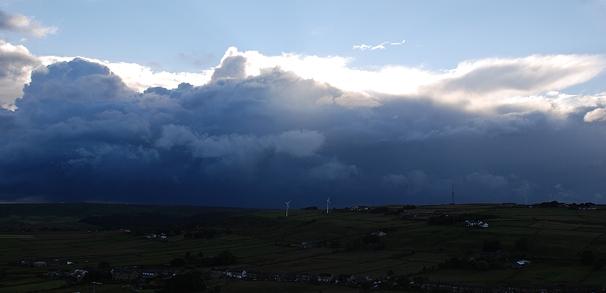
Warmer nights boost wet, miserable days
 Surprisingly, temperatures for the month were around average for the time of year; however, these can be accounted for by warmer night time figures that have boosted the daily averages. Rainfall was much higher than average. Looking at the six month period from January to June 1990-2016, it was the 6th wettest since our records began. The average figures are those recorded since 1990 from the School of Applied Sciences weather station.
The monthly mean temperature was 15.39˚C just slightly above the average figure for June of 15.13˚C. The warmest day of the month was Tuesday 7th with an average temperature of 21˚C (Average 21.22˚C), the maximum temperature of 27.8˚C was also recorded on this day. The coldest day of the month was Thursday 2nd with an average temperature of 9.7˚C. The lowest minimum temperature of 8.1˚C was recorded on Wednesday 1st.
A total of 84.8mm of rainfall was recorded during the month (average 63.54mm) making it the sixth wettest June since our records began. The wettest day of the month was Monday 13th with 11.6mm (13.7% of the month’s total). Eleven days of the month escaped rainfall, the driest spell falling between Wednesday 1st and Tuesday 7th.
The mean wind speed for the month was 9.32km/hr. The highest mean wind speed was 27km/hr recorded on Wednesday 1st. The maximum gust of 89.28km/hr was recorded on Wednesday 29th.
The prevailing wind direction for the month was southwest.
Julie Walker
Resource Centre and Environmental Technician
School of Applied Sciences