Huddersfield Weather Watch – December 2016
Fri, 13 Jan 2017 13:08:00 GMT
One of the warmest and driest
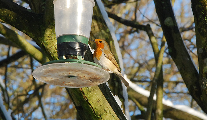
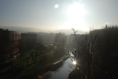 DECEMBER 2016 was amongst one of the warmest and driest in Huddersfield since our records began. Looking at the UK as a whole it was the eighth warmest since 1910 (Met Office). The average figures are those recorded by the School of Applied Sciences weather station since 1990.
The monthly mean temperature of 7.2˚C was significantly higher than the average temperature for December of 5.32˚C making it the third warmest December since our records began. The temperatures recorded for both the warmest day and the highest maximum were the second highest recorded by the weather station for December since 1990; only beaten by figures recorded in 2015. Four days of the month saw average temperatures reach double figures! The warmest day of the month was Wednesday 7th with an average temperature of 14.3˚C (average 11.3˚C); the highest maximum temperature of 16.1˚C was also recorded on this day. The coldest day of the month was Wednesday 28th with an average temperature of -0.6˚C making it the coldest December day since 2012 and the coldest day of all months since March 11th 2013. The lowest minimum temperature of -4.2 ˚C was recorded on both Wednesday 28th and Thursday 29th. The temperature fell below zero on just three days of the month.
A total of just 35.4mm (average 98.5mm) of rainfall was recorded during the month making it the second driest December since our records began (December 2010 was the driest with 25.8mm of rainfall). The wettest day of the month with 23.2% of the month’s rainfall was Wednesday 7th. Eleven days of the month recorded no rain but there were no significant dry spells.
The mean wind speed for the month was 9.86km/hr. The highest mean wind speed was 30.96km/hr recorded on Sunday 25th. The maximum gust for the month was 104.4km/hr also recorded on Sunday 25th.
The prevailing wind direction was south west.
Julie Walker
Resource Centre and Environmental Technician
School of Applied Sciences
2016 Year Summary
A total of 761mm of rain fell in Huddersfield during 2016 compared to the average figure of 838.51mm recorded since our records began in 1990. Looking at the six month period from January to June 1990 – 2016 it was the sixth wettest since our records began, the yearly figure however was below average due to less rainfall in the latter six months. The wettest month was January with 110.8mm of rainfall (14.5% of the year’s total). The wettest day of the year was Sunday 27th March with 22.6mm of rainfall. The driest month of the year was October with 30.4mm of rainfall. The driest spell was the 16 days between Thursday March 10th and Friday 25th March. A total of 90.8mm rain fell during the wettest spell of the year, Monday 25th January to Tuesday 9th February, accounting for 12% of the year’s total rainfall.
The warmest month of the year was July with an average temperature of 17.4˚C. The warmest day of the year, indeed the second warmest day since our records began, was Tuesday 19th July with an average temperature of 26.3˚C. The highest temperature recorded during the year, the fifth highest temperature recorded since our records began was 32.6˚C again recorded on Tuesday 19th July. The coldest month of the year was February with an average temperature of 5.04˚C. The coldest day of the year was Wednesday 28th December with an average temperature of -0.6˚C; it was the coldest day since March 11th 2013. The lowest temperature recorded during the month was -4.2˚C recorded on both Wednesday 28th and Thursday 29th December.
The windiest month of the year was February with an average wind speed of 13.8km/hr. The windiest day of the year was Monday February 1st with a substantial mean wind speed of 46.44km/hr, amongst one of the highest recorded figures since our records began. The highest gust of wind for the year and beating last year’s record gust of 136.44km/hr (11/01/15) was 136.8km recorded on Monday 1st February!
Monthly Overview 2016
All average figures are those recorded by the Applied Sciences weather station since 1990.
January – Higher than average temperatures and rainfall totals plus significant wind speeds were recorded during the month. Sunday 24th was the warmest January day since our records began.
February – Temperatures for the month were slightly below average and rainfall figures slightly above. Wind speeds were also above average with some significant gusts of wind. Storm Henry brought widespread gale-force winds on the 1st and 2nd especially in the north, and then storm Imogen brought further strong winds mainly to the south on the 7th and 8th (Met. Office).
March – Temperatures were below average whilst rainfall was above. It was the wettest since 2008 and the 6th wettest since our records began.
April – It was the fourth coldest since our records began. Rainfall was above average.
May – It was the second warmest experienced in Huddersfield during the past ten years. Rainfall and wind speeds were below average.
June – A dull start to summer with temperatures only kept around average due to warm nights. It was the sixth wettest June since our records began.
July – Monthly temperatures were very close to average. Tuesday 19th was the warmest day of the month with temperatures averaging an amazing 26.3˚C; thus making it the warmest July day and the second warmest day of all months since our records began!
August – Temperatures were slightly above average; rainfall was below.
September – It was the second warmest experienced in Huddersfield since our records began. Rainfall was below average; wind speeds above average.
October – Temperatures were slightly below average and very low rainfall meant it was the third equal driest October since our records began.
November - Below average temperatures, average rainfall and relatively low wind speeds.
December - Amongst one of the warmest and driest in Huddersfield since our records began.